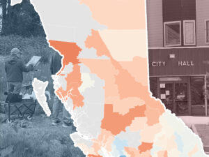
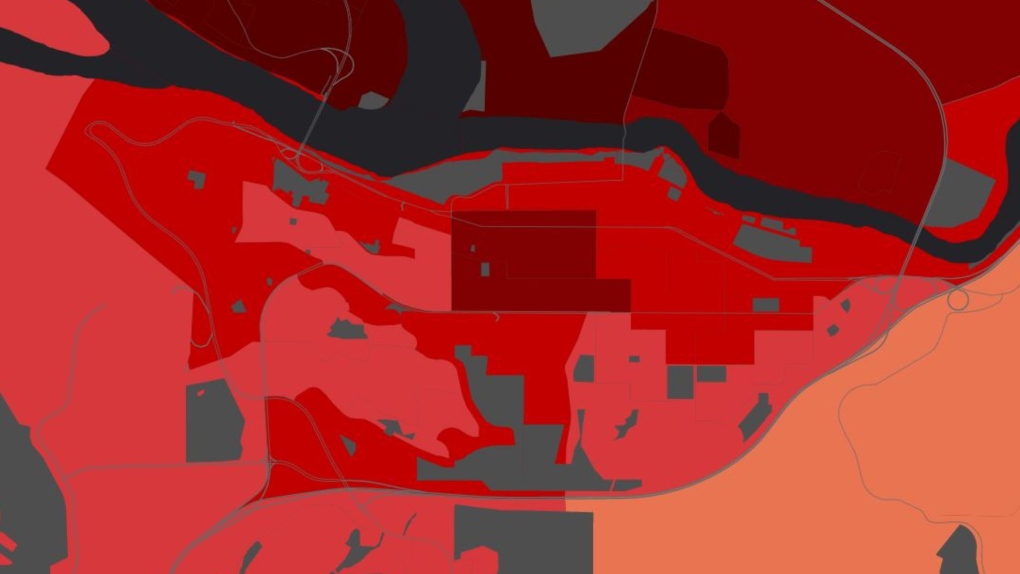
A B.C. health authority has released a series of maps showing how vulnerable its communities are to climate-related hazards like extreme temperatures, flooding and smoke.
Interior Health shared its recently developed community health and climate change maps Friday. The maps, made in partnership with the University of British Columbia, aim to help governments, local agencies and residents understand climate-sensitive areas and plan their infrastructure or emergency responses in the future.