Your guide to staying informed during wildfire season
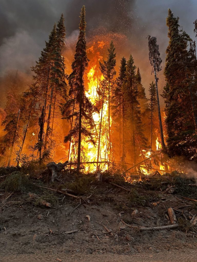
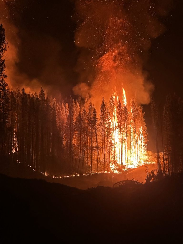
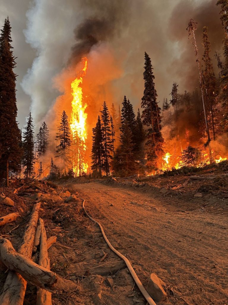
British Columbia is currently grappling with numerous wildfires that have sparked across various regions. These wildfires pose a significant threat to communities, ecosystems, and public safety. In the face of wildfires, smokey air and potential evacuations, staying informed through official sources such as emergency agencies, government channels, and reliable news outlets is your best strategy for ensuring the safety of yourself, your loved ones, and your community.
EmergencyInfoBC is the official informational source for BC residents to access up-to-date information on road closures, evacuation alerts and orders, new and growing wildfires and more. You can also follow @EmergencyInfoBc on Twitter/X.
BC Wildfire Service is the wildfire management agency in BC. Refer to their website or download the BC Wildfire app to access real-time maps, updates and wildfire information. To quickly access the wildfire map, smoke forecast and other resources, click here.
Red Cross BC offers assistance and support during emergency situations and disasters such as the wildfires the province is currently facing. They provide information on evacuation procedures, emergency shelter locations and recovery resources.
BC Government News releases updates on wildfires, evacuation orders, available resources and other information pertaining to current events across BC.
Emergency Management BC (EMBC) is a government agency that coordinates emergency management activities in BC. They offer information on emergency preparedness, response and recovery.
Visit DriveBC for information on road closures, conditions and traffic updates related to wildfires, vehicle incidents and other circumstances. @DriveBC also delivers up-to-date information via Twitter/X. Your local highways maintenance contractor will also provide up-to-date information about road conditions and closures in your area via social media.
BC Air Quality website provides real-time air quality information and health directives including the Air Quality Health Index (AQHI) forecast across the province.
The Wildfire Smoke Forecast is provided by the Government of Canada and provides a wildfire smoke forecast that will assist in anticipating air quality changes.
For those with land and livestock, or pets, the Emergency Management Resource for Farmers and Ranchers provides information about emergency planning, commercial livestock relocation and how to include pets in your emergency plan.
Stay up to date on government recommendations for how to prepare for a wildfire and stay safe during an emergency. Access the Wildfire Preparedness Guide here and the Government of Canada’s Emergency Preparedness Guide here
Websites and social media posted by local governments and organizations can be beneficial in accessing up-to-date, reliable and accurate information pertaining to your specific location or community. Many cities and regional districts also use applications such as Alertable and Voyent Alert! to keep residents informed on current threats and evacuations. Please visit your City or Regional District’s website to find out if they use an alerting system that you can subscribe to.
For those in the Central Okanagan currently affected by the McKinley/Clifton, McDougall Creek and Lake Country Wildfires, please visit the Central Okanagan Emergency Operations Website for updates during this rapidly evolving emergency.
Residents and visitors of the Fraser Valley Regional District who are currently being affected by the Kookipi Creek Wildfire, please consider downloading Alertable to receive updates and alerts on the progression of the wildfire in the area.
For those in the Lac La Jeune and Kamloops area currently being affected by the Ross Moore Lake and Adams Lake wildfires, please visit the City of Kamloops website to see information on emergency alerts and orders as well as an interactive emergency map. The City of Kamloops also uses Voyent Alert! to disseminate information during emergencies. You can find more information on current evacuation orders and alerts on the Thompson-Nicola Regional District website. Visitors and residents of the Shuswap area, please refer to the Columbia Shuswap Regional District website for emergency alerts and updates.
Keremeos and area residents who are currently affected by the Crater Creek and Upper Park Rill Creek wildfires can visit the Regional District of Okanagan-Similkameen website for updates on evacuations and wildfire progression.
The Regional District of Fraser Fort-George is currently dealing with the Great Beaver Lake Wildfire. For updates and information on the progression of this fire, please visit the RDFFG website and the map of evacuation orders and alerts in the area. For those in the Bulkey-Nechako region please visit the RDBN Emergency Operations Centre Web Page for evacuation alerts and orders including an interactive map.
For those in the Northern Rockies Regional Municipality, you can find the Community Wildfire Protection Plan and FireSmart information on the NRRM website.
British Columbia offers a wealth of invaluable informational resources to help residents and visitors navigate the complexities of wildfire season. Staying informed and prepared is paramount in the face of this natural hazard, and taking advantage of the diverse range of informational resources available to us is the first step in ensuring emergency response efforts across the province are as efficient and effective as possible.